Advanced anti-drone system for military and law enforcement.

Advanced anti-drone system for military and law enforcement.
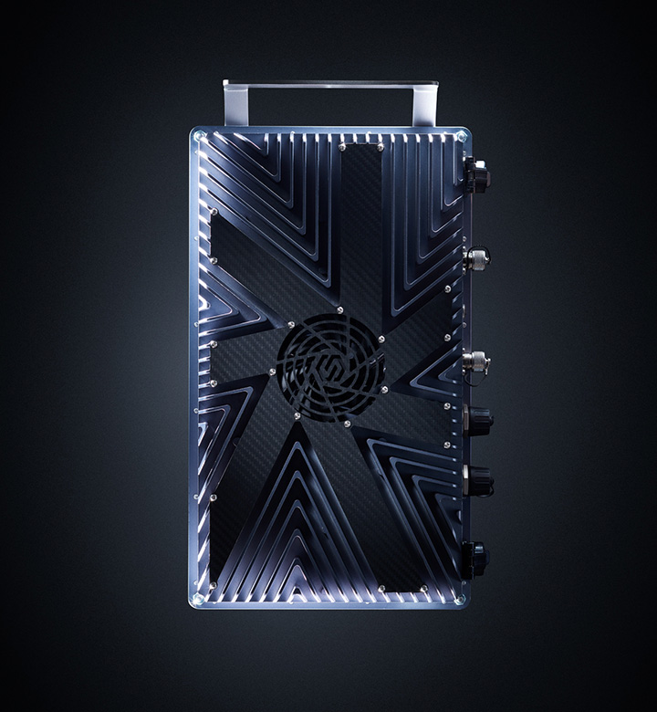
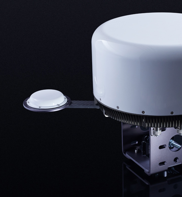
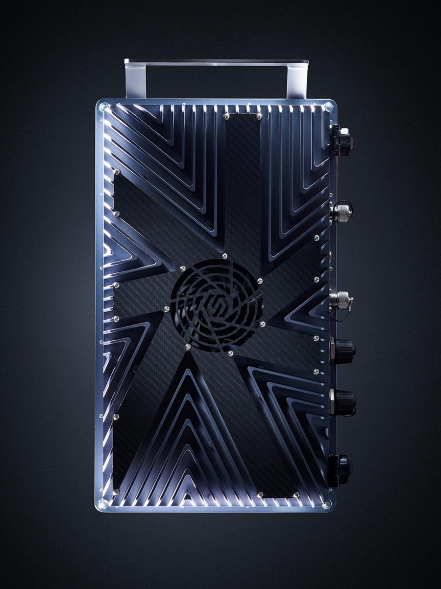
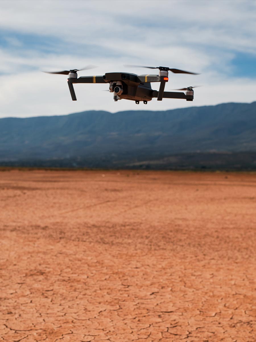
Airfence is a passive drone detection system that provides real-time locations of drones and their pilots.
Since 2016, Airfence has been used for drone detection by governmental customers in Europe, North America, Middle-East and Asia.
Airfence Military Edition has a wide array of countermeasures against threats posed by modern drones.
In co-operation with


Airfence is a state of the art passive drone detection and response system.

To hear more about our technology and capabilities, please contact us using your official email address. Please note that we do not operate with organizations facing EU sanctions.